
Hurricane Erin Fires Up 2025 Atlantic Hurricane Season
If you’ve been anywhere near the Atlantic this week, you’ve probably heard the buzz about Hurricane Erin. It’s not just another blip on the weather radar; Erin just earned the title of 2025’s first major Atlantic hurricane, flexing as a strong Category 4 with fierce winds topping 130 mph at times. Erin’s wild ride has been anything but smooth—fluctuating between Categories 3, 4, and even peeking into Category 5 territory for a brief, adrenaline-pumping moment last Saturday.
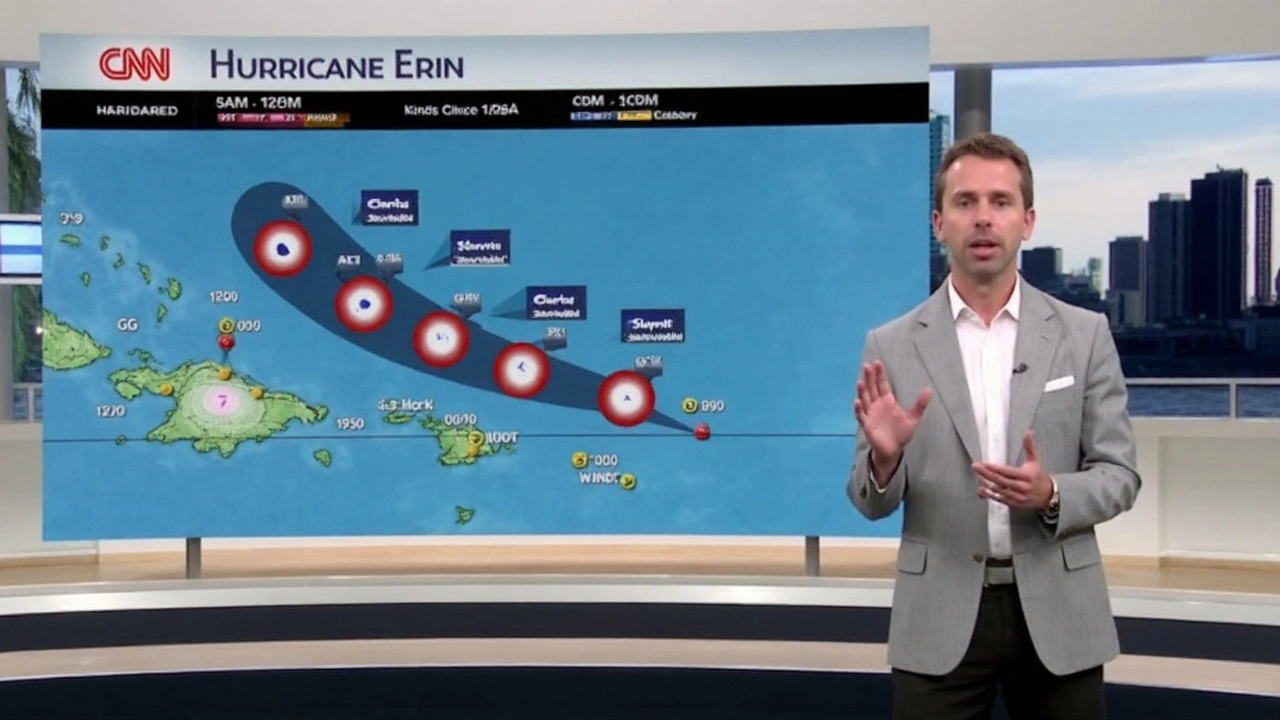
As of Tuesday, Erin was churning around 695 miles southwest of Bermuda and about 800 miles from North Carolina’s Cape Hatteras. The flight crews keeping an eye on the beast reported winds at high altitudes shaking out between 105 and 115 knots (think: the kind of gusts that seriously rock a plane). The hurricane’s pressure has been ticking upward to near 949 mb, a clue it’s lost a touch of its bite, but not enough for anyone on the coast to lean back and relax. Satellite images and high-tech weather models have picked up hints of weakening: Erin’s eye has lost some punch and the top storm clouds are sliding out of alignment because of disruptive winds high up in the atmosphere—classic signs the hurricane is trying to catch its breath. But even with these setbacks, one thing is clear: the wind field is now huge, pushing hurricane-force gusts more than 100 nautical miles out from the center. That’s a wide swath of trouble for anyone in its outer bands.
Coastal Preparations as Erin Spins Closer
Earlier in the week, Erin grazed the eastern Bahamas and the Turks and Caicos Islands, lashing them with rains and strong, swirling gusts. Houses rocked, palm trees bent, and heavy rain pounded the islands, bringing the risk of flash floods and swamped city streets. Meteorologists expect the Bahamas to keep dealing with buckets of rain through Wednesday, with extra caution for flash and urban flooding, especially in vulnerable low-lying spots. Parts of the central Bahamas are still bracing for more tropical storm winds before Erin heads north.
Forecasts show Erin making a crucial northward turn by Tuesday night, aiming its core between Bermuda and the East Coast. No, it’s not expected to crash into the U.S. mainland, but that doesn’t mean it’s harmless. If you’re in coastal North Carolina—specifically the Outer Banks—there’s already a tropical storm and storm surge watch in effect. Officials aren’t taking chances: some local evacuation orders are in place for the most flood-prone and exposed areas. People are hustling to board up homes, secure boats, and get emergency kits ready as Erin’s outer squalls could arrive late Wednesday, whipping up damaging winds and driving surges of seawater onto beaches and roads.
Beachgoers far beyond the direct path aren’t in the clear either. Erin’s size means it’s sending out massive, hazardous surf and killer rip currents all along the U.S. East Coast, up through Bermuda, and even reaching parts of Atlantic Canada. Not the week for a casual swim: rescue crews and lifeguards are on high alert, and anybody thinking about hitting the water is being told to stick to the sand and watch the warning flags like a hawk.
Bermuda is now firmly on the hurricane watch list, with strong winds likely by Thursday as Erin drifts nearby. Islanders are prepping for gusty weather and possibly some power outages, though the worst is expected to stay just offshore. Even so, folks are stocking up on supplies, checking storm shutters, and charging batteries just in case.
There’s some good news in the midst of this: weather models have been locked in on Erin’s path with surprising accuracy, boosting confidence that the hurricane’s most punishing winds will stay away from mainland towns and cities. But forecasters aren’t sugarcoating it—the broad impacts from Erin’s sprawling wind field and huge waves are still major worries for millions living and working by the Atlantic.